From Packhorse Track to Mountain Pass: How Upland Routes Follow the Land
Learn how upland routes follow workable gradients, saddles and stream crossings, and use those clues to read why a path bends across the landscape.
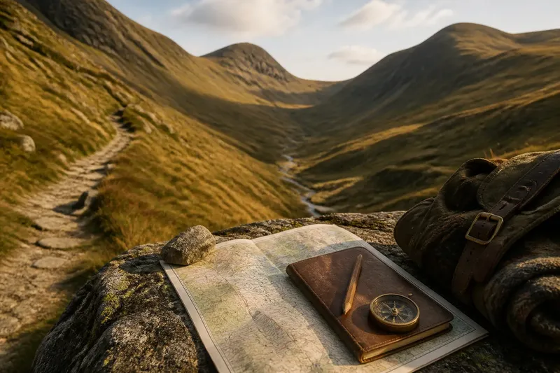
The common mistake when reading an old upland path is to treat every bend as a detour. Often the curve is the point: a packhorse track may climb gently around a steep shoulder, then cross the ridge at a low saddle. Understanding how upland routes follow the land helps explain why a line on a map can look indirect yet make sense underfoot.
Why do old routes bend instead of taking the shortest line?
A route made for people, pack animals or a string of ponies had to balance distance against effort. A direct line up a steep slope might be shorter on paper but tiring, slippery or difficult for loaded animals. A longer traverse can gain height gradually, using a hillside’s natural shape rather than fighting it.
Look for the path’s relationship to the contours on a map. Closely spaced contour lines mark steeper ground; where the path crosses them at a shallow angle, it is usually climbing more gently. A track that zigzags or sweeps sideways may be seeking a manageable gradient, a firm surface or a place where the slope eases.
Think of the route as a handle on a heavy bucket: the straightest grip is not always the easiest to carry. The path is shaped by the load and the person moving it, as well as by the terrain.
What makes a saddle a useful mountain crossing?
A saddle is a lower notch between higher points on a ridge. It offers a natural way through a barrier of high ground, often avoiding the effort and exposure of climbing to a summit. From a distance, it can be hard to spot; on a contour map, look for contours curving around a low point between two higher slopes.
Not every saddle is an easy crossing. Its approach may be steep, boggy or cut by gullies, and wind can funnel through the gap. A route may reach a saddle by following a shoulder or circling a head of a valley, where the ground gives a steadier ascent.
When comparing possible passes, notice both sides of the ridge. A low point may lead naturally into one valley but leave a rough descent on the other side. The useful crossing is not simply the lowest point; it is the point with workable approaches and exits.
How can you read a route from a map and the ground?
Use a detailed topographic map alongside what is visible from a safe, established path. Contour lines show the broad shape of slopes, while streams, cliffs and valley floors suggest where movement may be easier or harder. On the ground, watch for a level bench, a shallow notch or an old track continuing across a hillside.
Imagine you are planning a walk between two valleys on a map. One possible line climbs directly towards a ridge, where the contours bunch tightly; another curves along a broad shoulder before reaching a saddle. The second line is likely to offer a steadier climb, and the visible continuation beyond the saddle can help you judge whether it connects with the next valley. This is a way to interpret the terrain, not a reason to leave a marked route or ignore current conditions.
- Check where contour lines are close together before committing to a direct ascent.
- Look for a low saddle between high points rather than assuming the summit is the crossing.
- Trace streams and gullies; a path may follow a valley but avoid wet or broken ground.
- Notice whether the route uses a broad shoulder or shelf to hold a gentler line.
- Compare the descent beyond the pass as carefully as the approach.
How do streams and valley shapes influence a pass?
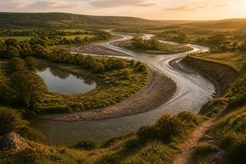
Watercourses can guide travel through uplands because valleys offer a continuous corridor between higher ground. But the easiest-looking line on a map may lead to a difficult crossing where a stream cuts across the route. A path may bend to reach a narrower channel, a stable bank or a place where the valley floor is less broken.
Valley heads also shape the approach to a pass. Where two valleys rise towards the same ridge, a route may connect their upper reaches across a saddle. In other places, steep valley sides push the track onto a higher bench before it turns towards the crossing.
These clues help explain route shape, but a stream can change with rain and snowmelt. Keep to established crossings where available, and treat the map as a guide to landforms rather than a promise that a crossing will be straightforward.
What questions help explain a route’s shape?
Why does a packhorse track take a long curve?
A broad curve can reduce the steepness of a climb and make footing more manageable for animals carrying loads. It may also avoid a steep-sided hollow or unstable slope.
Is the lowest point on a ridge always the best pass?
No. The approaches, descent, surface and exposure matter as much as the height of the notch. A slightly higher saddle may connect more naturally with firm ground on both sides.
Why might a path avoid the valley floor?
The floor may be wet, crossed by streams or interrupted by steep sections. A hillside bench can offer a more continuous line, even if it looks less direct from above.
Can a map tell whether a pass is safe to cross?
A map can reveal slope shape, watercourses and likely obstacles, but it cannot show every current hazard or changing condition. Use local route information and conditions on the day when deciding where to walk.
How should you follow these clues on a walk?
Before setting out, identify the ridge, likely saddle and valley approaches on your map. On the walk, pause at a viewpoint and compare the mapped contours with the visible slope. Ask why the path stays level, turns away from the ridge or crosses a stream at a particular point.
Keep to a route appropriate to your ability and conditions. Upland ground can be exposed, boggy or difficult to navigate, and a tempting line across a hillside may not be a safe alternative. Follow local access guidance and seek qualified advice if the route or conditions raise a safety concern.
Reading how upland routes follow the land gives each bend a possible explanation: a gentler gradient, a valley shelf, a stream crossing or a pass with useful approaches. The next time a track curves across a slope, look beyond the line itself. Its shape may be a record of the terrain’s easiest conversation with travel.